Whilst this blog primarily focuses on news and events, we thought it would also be useful to have an article which explains some of the techniques available when completing natural gas exploration.
Here is a useful video on one of the techniques used, 3D seismic imaging which you may find interesting:
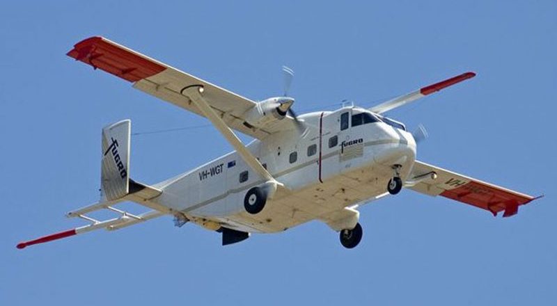
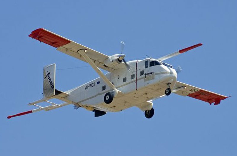
Airborne Gravity and Magnetic Surveys
Specially equipped aircraft can be used to obtain readings of the earth that indicate the potential presence of a basin deep underground. Planes can collect both gravity and magnetic data. This data helps develop a better understanding of any geological complexities.
Surface Geochemistry
Shoestring-length sleeves of absorbent materials can be placed into the ground. A few weeks after they are installed they can be removed and analyzed for particular carbon-based compounds which can help with understanding if there is an active petroleum system at work deep underneath the ground.
2D seismic imaging
2D seismic imaging is temporary in nature and has minimal environmental impact. 2D seismic imaging uses sound wave technology, like an ultrasound, to create maps that show rock layers beneath the earth’s surface. This process creates a sound at or near the surface and records the return echoes from the earth with detectors called geophones. Car traffic, pedestrians walking, tree roots moving from the wind are recorded with this equipment along with the return echoes from the earth. This sound may be created using one of two techniques depending on the surface conditions:
Vibroseis Technique
The vibroseis technique is only used on roadways and provides quality signals with minimal disturbance. Seismic vibrator trucks are equipped with an underlying vibrating plate to generate specific sound signals. When the plate is placed on the ground and activated, these signals are reflected off rock formations and recorded by the geophones located at the surface. The strength of the signal from one seismic vibrator truck is very small; several trucks need to be activated simultaneously to create a signal strong enough to be recorded. These vehicles create noise levels similar to that made by a logging truck.

Shot Hole Technique
The shot hole technique provides quality information and is an effective method when no roads are available. A small seismic source is placed at the bottom of the hole and is sealed with clay and drill cuttings per provincial regulations. When safely secured, the source is activated with specialized equipment. Afterwards, the area is restored to its original state.
Exploratory wells
Exploratory wells can be a very useful medium for gathering detailed data. Exploratory wells involve drilling a vertical hole for the purpose of taking samples of the various rock layers to better understand the geology. Different depths can be used depending upon the situation and environment.
Leave a Reply